BirdLife International are leading a project to support efforts to delineate marine Key Biodiversity Areas (KBAs) in the Lord Howe Rise and South Tasman Sea region.
What are KBAs?
KBAs are sites that contribute significantly to the global persistence of biodiversity. They can be significant for a single species, assemblages of species, ecosystems, sites of outstanding ecological integrity, or sites with high irreplaceability. Robust criteria to identify KBAs help to assess the most important populations of species worldwide.
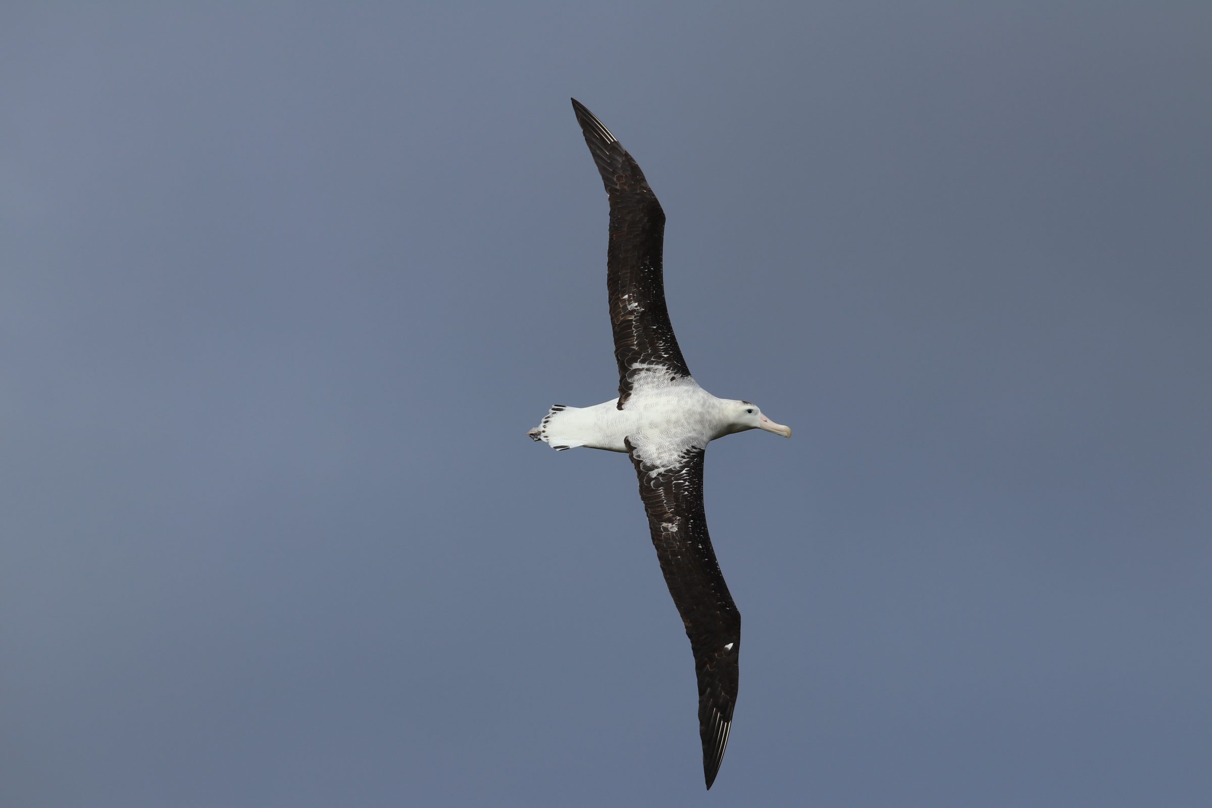
Endangered Antipodean Albatross flying by Charlie Barnett
Why the Lord Howe Rise and South Tasman Sea?
The Lord Howe Rise and South Tasman Sea region is a globally important biodiversity hotspot that hosts some of the highest seabird densities in the world. Almost 1 million km2 of the region is internationally recognised as an EBSA (Ecologically or Biologically Significant Area) and it contains five Key Biodiversity Areas (KBAs). Recognition of its ecological importance has led to interest in advancing area-based management tools, including marine protected areas (MPAs), once the holistic governance framework for areas beyond national jurisdiction is in place. BirdLife International is keen to ensure that the best available evidence – and in particular seabird tracking data – is considered in decision-making processes.
Map showing the region of interest (cropped to 140° E to 180° E and 10°S to 60°S), with Exclusive Economic Zones (EEZs; green), marine KBAs (orange), EBSAs (purple), High Seas regions of particular interest (yellow) are displayed, with Lord Howe Island marked in red for reference. Hover mouse over areas to see labels (the designations employed and the presentation of material on this map do not imply the expression of any opinion whatsoever by BirdLife concerning the legal status of any country, territory, city or area or of its authorities, or concerning the delimitation of its frontiers or boundaries).
BirdLife International aims to build upon the success of the North Atlantic Current and Evlanov Sea-basin MPA, by using seabird tracking data to delineate the most important areas for seabirds and wider marine biodiversity in the Lord Howe Rise and South Tasman Sea region to be considered as candidate high seas MPA(s).
Briefly, we will follow established methods to delineate KBAs to identify sites that are globally important according to robust, standardised criteria. We will analyse seabird tracking data from multiple species, grouped by species, colonies and year quarter.
Invitation to collaborate
We will be hosting an online workshop (that will also be recorded) on the 6th November at UTC 07:00 / UTC +13 20:00 to provide more information about the initiative and to assess data availability of seabird tracking data and colony population information. If you would like to receive a link to the workshop please complete this form: https://forms.gle/hQ44tksVzzfpA5w17 or email joanne.morten@birdlife.org.
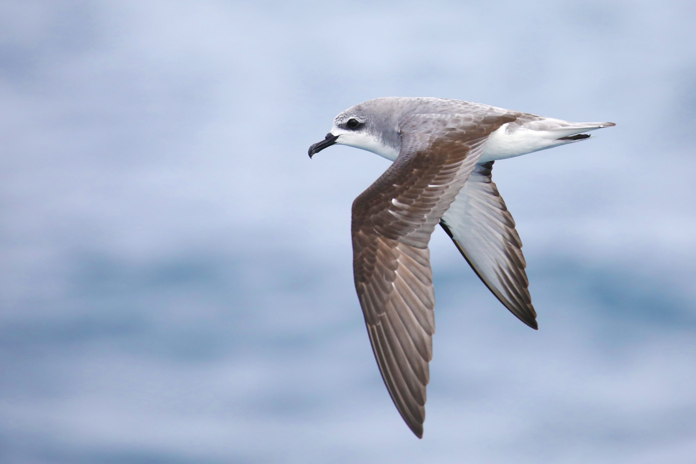
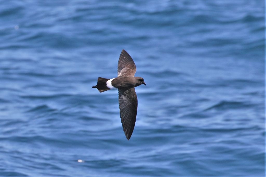
Cook’s Petel by spatuletail from Shutterstock
Any sites identified that meet the qualifying criteria of KBAs would be proposed to the World Database of Key Biodiversity Areas. We plan to publish the results of this analysis in a scientific manuscript, and all data contributors will be invited as co-authors. Your contributions are invaluable in advancing seabird conservation efforts.
If you have additional tracking data that are not yet uploaded to the Seabird Tracking Database, we encourage you to contribute to ensure a comprehensive assessment. For questions about data uploads, please email seabirds@birdlife.org. If you are unable to upload your database, but would still like to contribute to this project, please contact joanne.morten@birdlife.org.